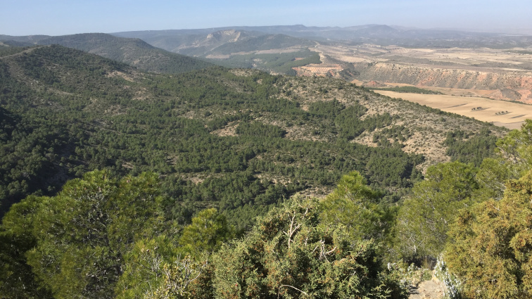
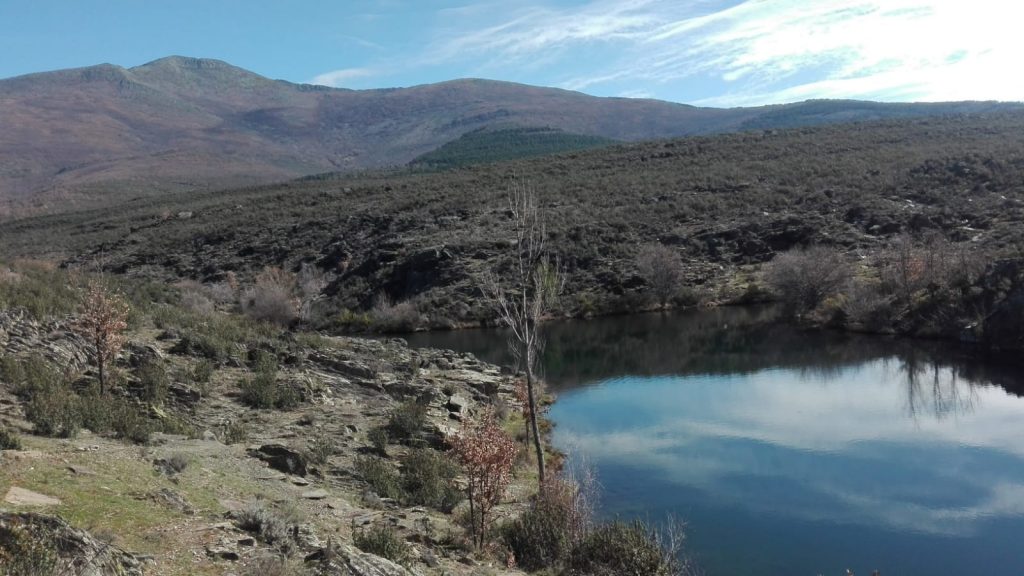
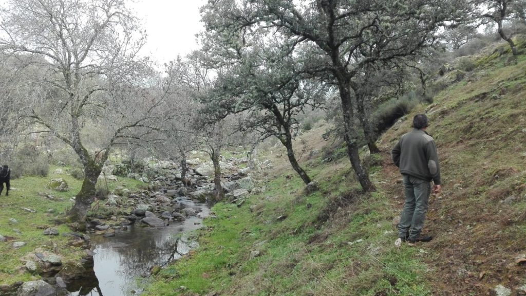
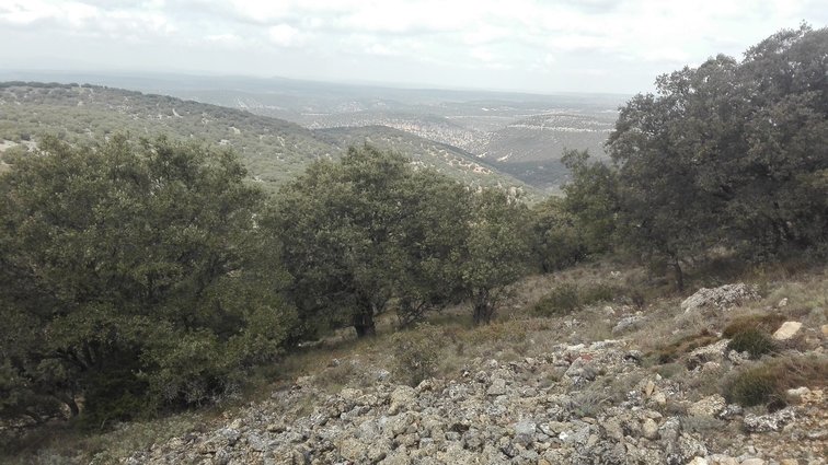
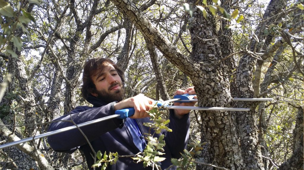
Responsible forest management is best achieved by adhering to technical criteria that generate economic benefits through the conservation of forest resources. At GEA we create forest management plans that guarantee beneficial and sustainable rural development. In the last 10 years we developed 30 forest management plans, in more than 60.000 hectares and 5 regions of Spain.
The Instruments for Sustainable Forest Management (Organization Projects, Technical Management Plans, Reforestation Plans, etc.) serve as forestry planning tools to guarantee proper forest management. These instruments are documents applicable to forest land that guarantee SFM, provide valuable information about proprietors, and lay out management plans to be implemented in the area over the following years.
This type of work has evolved over the last few years with the emergence of new technologies in the forestry sector. At GEA Forestal we believe these latest technologies will more accurately analyze the characteristics of a forest zone, thereby allowing us to develop a more beneficial plan for its forestry practices. Of these new technologies, the following stand out:
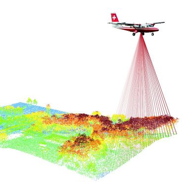
- LiDAR: a device that allows you to determine the distance from a laser emitter to an object or surface using a pulsing laser beam. For the forestry sector, analyzing the LiDar dot cloud tells us variables such as the tree and brush coverage, the maximum vegetation heights, the presence of brush or regrowth, and the existence or not of permanent vertical or horizontal combustibles. Additionally, this information, with the adjustment of statistical models, can be related to the main variables of a forest area, such as the number of trees, the basal area, the volume of wood, the mean quadratic diameter, the dominant height, and the biomass of the foliage or branches.
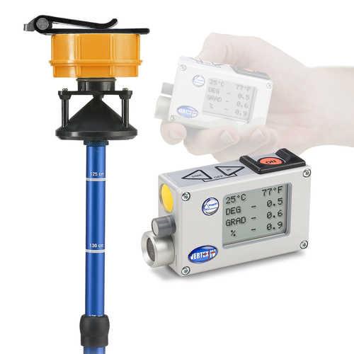
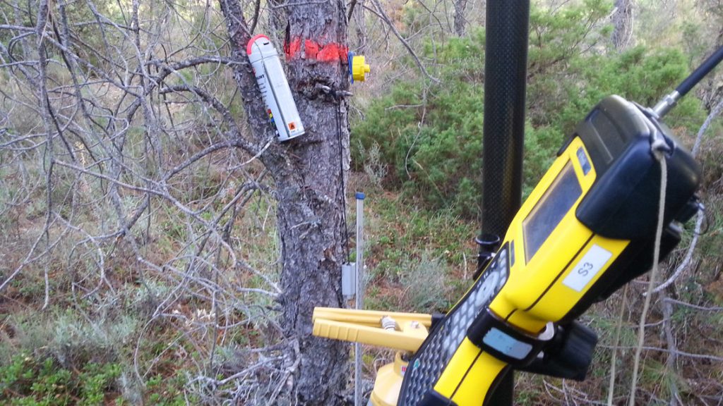
- Hypsometer Vertex: an instrument equipped with a laser and ultrasound that generates precise measurements of height, angle, and distance in the forest. These hypsometers can also be used with very dense vegetation and brush to obtain precise readings. Unlike measuring tape and laser instruments, ultrasound technology works even when the reference point is obscured by branches and leaves. The high-quality inclination sensor and the distance measuring technologies with ultrasound offer accurate height readings in any type of forest and terrain.
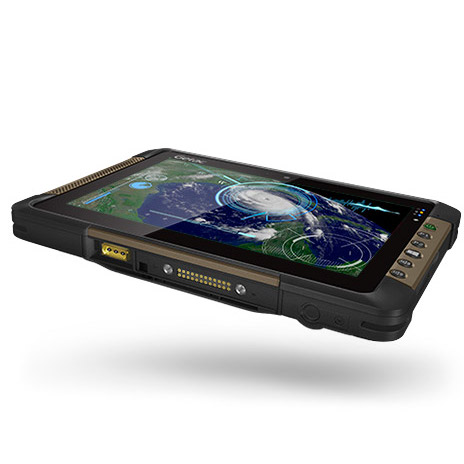
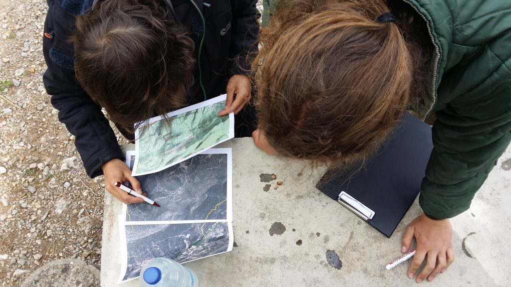
- Digital information collection: New electronic devices, such as tablets or smartphones, accelerate information collection in the forest and organize it much more effectively. Through applications specially adapted to collect the data, we have eliminated outdated paper inventory and can complete tasks more efficiently.